Saturday, January 30, 2016

Royal Vauxhall Tavern history map


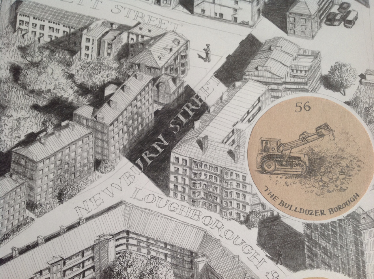
This hand drawn map tells the story of the area around the RVT from the 17th century to the present day. The map measures 2m x 1500mm. 
You can see the original drawing in the bar area of Brunswick House, or LASSCOS, in Vauxhall. A limited edition of smaller scale prints are available for purchase there. 


Thursday, January 28, 2016

Bargehouse Interactive map game

An interactive map of the area around the South Bank showing stories from past and  present as written and drawn by members of the public. The map has been built as a marble run which traps marbles in different places on the map revealing a story about that specific spot.
This was part of an international drawing symposium held in the Bargehouse, Oxo Tower.